Services
Orthomosaic Survey Mapping Service
VS Safety Enterprise have proven records for Orthomosaic Survey Mapping Service as per best industry standard.
Our team of professionals is working for completion of project within scheduled time frame.
For delivering quality output we are using best in standard instruments.
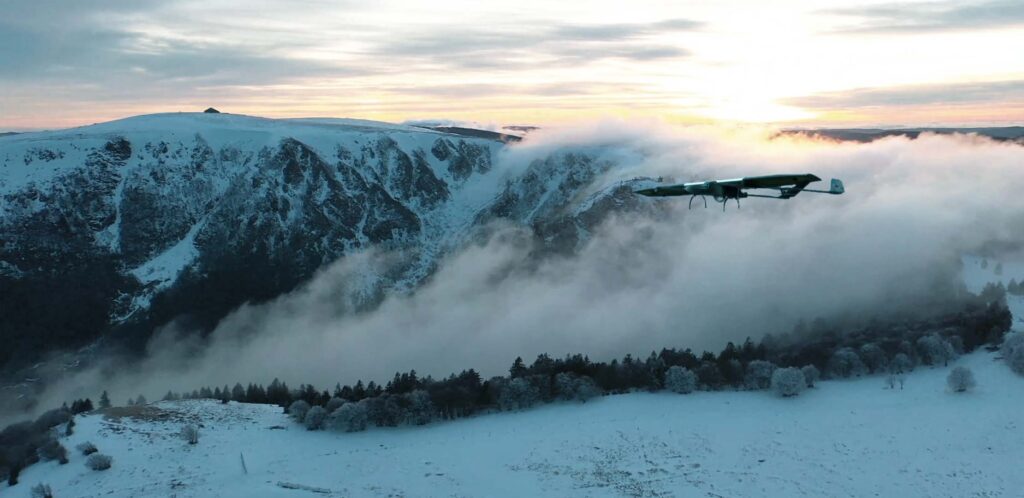
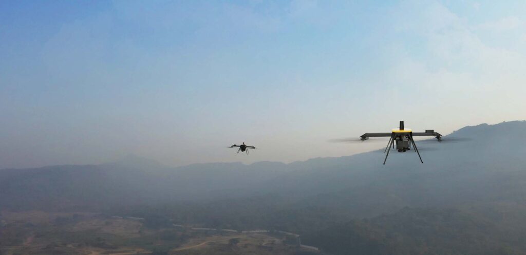
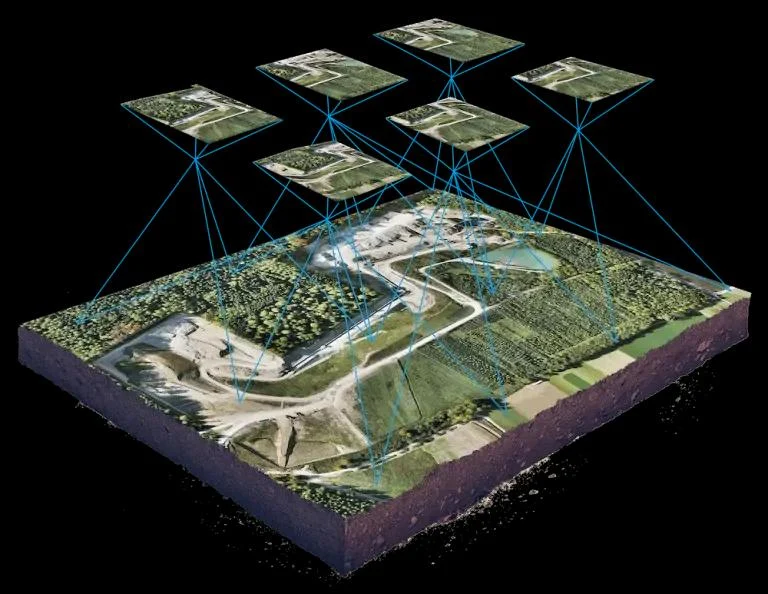
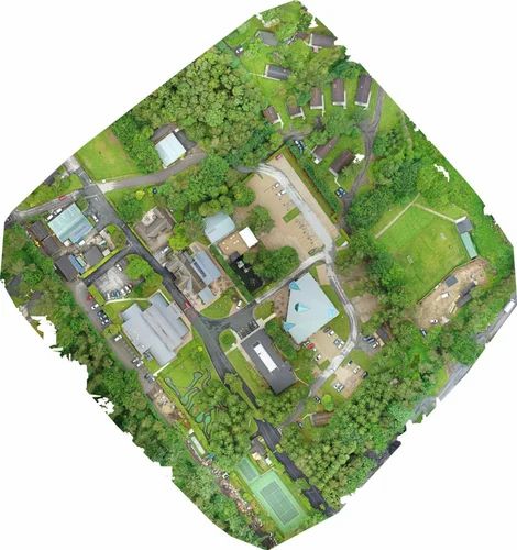
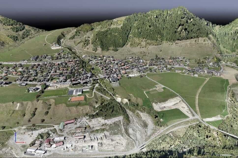
Orthomosaic maps are detailed and high-resolution images of the terrain selected. When UAV takes numerous pictures of the landscape (site)of below it from a vertical nadir angle. After capturing of data, we use various mapping software to stitch together the images into one giant mosaic of the terrain selected. These images are photo-realistic, means they include information about the landmarks, relief, and distance between objects in great detail. Orthomosaic images give the viewer a clear picture of the shape and quality of the landscape below.
Because of the level of detail inherent to orthomosaic images, a lot of different kinds of advanced mapping functions are available as a result. Orthomosaics serve as the basis for features such as cloud point models which allow surveyors to insert 3D images into their finished product. However, there is one major drawback when compiling an orthomosaic map: distortion.
As out we develop Orthorectified Images
Additional Information:
Production Capacity: 500 KM
Delivery Time: 7 Days
Aerial Surveying and GIS
Land surveying
Cadastral maps
Topographical surveys
Precise measurements
Land management and development
Urban planning
Additional Information:
Production Capacity: 500Kms
Delivery Time: 7 days
F.A.Q.
Answers to your most sought questions…